 K K Geo System | 3D Scanning & Metrology Solutions India
Precision 3D Laser Scanning & Dimensional Metrology Solutions
K K Geo System | 3D Scanning & Metrology Solutions India


Mechanical components · Parts and assemblies
K K Geosystem captures the accessible surface geometry of mechanical parts and assemblies, supplying agreed scan or mesh data for engineering documentation and downstream work. On-site services across India are supported by our Ahmedabad and Jamshedpur offices.
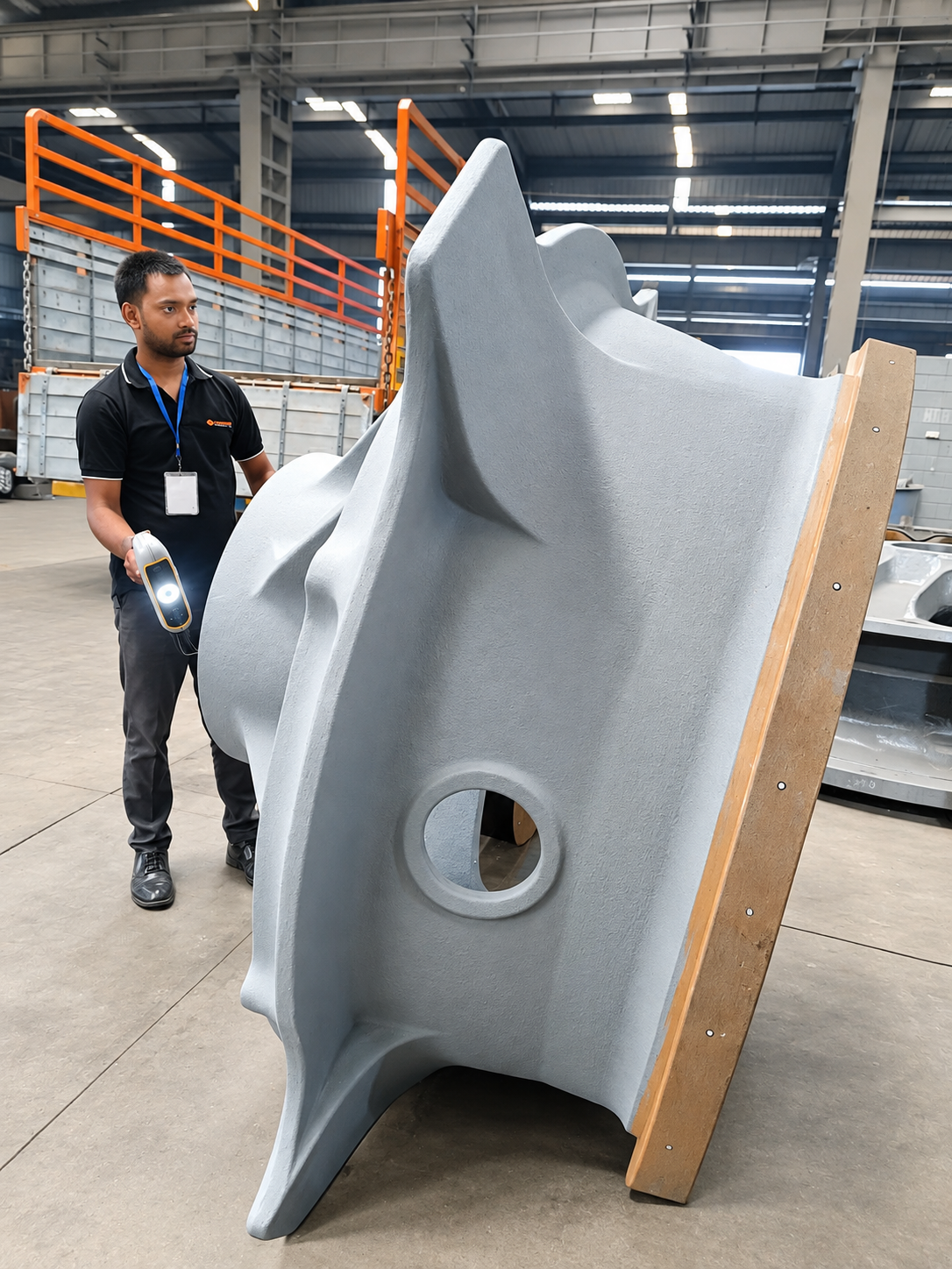
Choose this service when you need a digital record of an existing physical part. The capture plan is based on the component size, surface condition, accessible features and intended use of the data.
Our documented reverse-engineering experience includes impellers, hydraulic actuators, furnace assemblies and power-generation components. Scanning, CAD reconstruction and drawing preparation are defined separately in each assignment.
| Requirement | Inputs | Agreed output |
|---|---|---|
| Scanning only | Part access, features to capture and intended use | Processed scan or mesh data in the agreed format |
| Scanning with CAD reconstruction | Required model type, critical geometry and available references | Scan data plus separately scoped CAD models and drawings |
| Scanning with inspection | Reference CAD or drawing, datums and tolerances | Agreed comparisons and inspection report |
Deep recesses, internal passages, obstructions and surface appearance can affect the proposed capture approach. Share critical small features and any restrictions on moving or preparing the part before quotation. Unmeasured geometry should not be silently reconstructed as though it were captured.
The required detail and verification approach are agreed for the application. There is no single accuracy claim covering every part, setup and feature.
For editable engineering geometry, see Reverse Engineering & Scan-to-CAD. For comparison against a reference, see 3D Scanner Inspection. For site-scale capture, see Building & Plant 3D Scanning.
Yes. Scanning-only delivery can provide the agreed data for your own engineering team. Editable CAD reconstruction is a separate scope.
Coverage depends on access. Hidden surfaces may require additional references, a different measurement approach or an agreed change to the scope.
Only if inspection is commissioned with an agreed reference, alignment and acceptance criteria. A scan file alone is not a dimensional acceptance report.
Send photographs, approximate dimensions, quantity, location, surface details, critical features, required file format and target date. Contact us before transferring confidential drawings.
Offices in Ahmedabad and Jamshedpur. On-site services across India. Remote modelling and drawing services for overseas customers using customer-supplied data.
Email inquiry@kkgeosystem.com or call +91 98244 40077.
Please include the service required, location, approximate size or data extent, required outputs and target date. For confidential or large files, contact us to agree the transfer method.