K K Geosystem | 3D Scanner | 3D Laser Scanner |3D laser scanning
Trimble Software
Trimble Software
Surveying
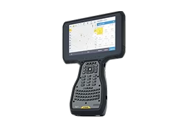
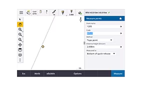
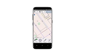
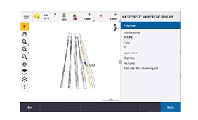
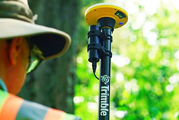
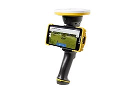
Trimble Access
Complete surveying solution for digital workflows.
Surveying
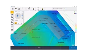
Trimble Access Roads
Powerful road stakeout software.
Surveying
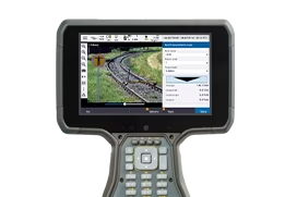
Trimble Access Rail
Powerful suite of railway track-specific software modules.
Surveying
Trimble Access Pipelines
Track and record pipeline data in the field.
Surveying
Trimble Access Mobile Inspector Service
Improve asset management throughout its lifecycle.
Surveying
Trimble Access SDK
Third-party development framework for Trimble Access.
Surveying, GIS
Trimble Penmap
Simple survey and GIS data collection.
GIS
Trimble TerraFlex
Cloud-based solution for streamlined field data capture.
Laser scanning
Trimble Perspective
Get full control over your scans in the field.
Laser scanning
Trimble Perspective Mobile
Control your scan settings from your mobile phone.
Tunneling
Trimble Access Tunnels
Survey tunnel projects efficiently.
Monitoring
Trimble Access Monitoring
Streamlined monitoring data capture.
Mine survey and monitoring
Trimble Access Mines
Powerful tools to survey and report on underground mine operations.
Forensics
Trimble Forensics Capture
Easy-to-use field software for forensics investigators.
Laser scanning
Trimble Access
Complete surveying solution for digital workflows.
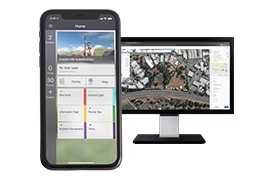
Cloud software
Trimble Connect
A cloud-based common data environment (CDE) and collaboration platform.
Cloud software
Trimble Reality Capture
An integrated platform service to help unlock reality data through seamless collaboration.
Surveying
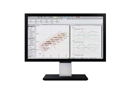
Trimble Business Center
Field-to-finish survey CAD software.
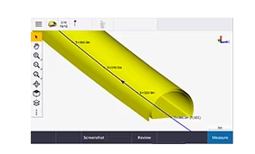
Surveying
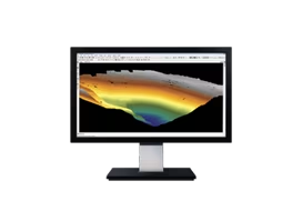
Trimble RealWorks
Software for 3D scanning professionals.
Surveying
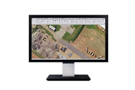
Trimble Business Center Aerial Photogrammetry
Streamlined UAV workflows for surveyors.
Surveying
Applanix POSPac MMS
GNSS-aided inertial postprocessing.
GIS
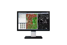
Trimble Terra Office
Connecting TerraFlex to your GIS system-of-record.
GIS
Trimble TerraFlex
Cloud-based solution for streamlined field data capture.
Laser scanning
Trimble RealWorks Storage Tank
Automate your workflows and create custom scanning reports.
Laser scanning
Trimble Scan Essentials for SketchUp
The essential bridge from reality to completed models.
Mobile mapping
Trimble Business Center Mobile Mapping
From raw mobile mapping data to actionable information.
Mobile mapping
Applanix POSPac MMS
GNSS-aided inertial postprocessing.
Mobile mapping
Trimble MX
Simplify your mobile mapping data organization.
Tunneling
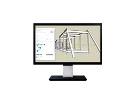
Trimble Business Center Tunneling
Comprehensive tunnel surveying from field to finish.
Tunneling
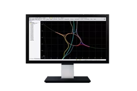
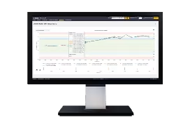
Trimble 4D Control
Automated movement detection with confidence.
Monitoring
Trimble 4D Control Rail
Monitor rail geometry with confidence.
Monitoring
Trimble Business Center Monitoring
Monitoring deliverables, simplified.
Forensics
Trimble Forensics Reveal
One software to import & analyze field data.
Forensics
Trimble Forensics ShowCase
Vividly present in court with custom, photo-realistic 360-degree renderings.
Forensics
Trimble RealWorks Forensics
Point cloud processing and compelling deliverables.
Remote sensing & photogrammetry
Trimble eCognition
Streamline earth observation analysis.
Remote sensing & photogrammetry
Trimble Inpho
An advanced photogrammetry solution.
Remote sensing & photogrammetry
Trimble Inpho UASMaster
UAS data processing and deliverables.
Remote sensing & photogrammetry
Trimble Business Center Aerial Photogrammetry
Streamlined UAV workflows for surveyors.
Remote sensing & photogrammetry
Trimble eCognition
Streamline earth observation analysis.
Remote sensing & photogrammetry
Trimble Inpho
An advanced photogrammetry solution.
Mine survey and monitoring
Trimble Business Center
Field-to-finish survey CAD software.
Laser scanning
Trimble RealWorks
Software for 3D scanning professionals.
Laser scanning
Trimble Business Center
Field-to-finish survey CAD software.
Monitoring
Trimble 4D Control
Automated movement detection with confidence.
Surveying
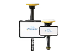
Trimble SiteVision
Instant visualization for immediate insights.
GNSS receiver
Trimble DA2
The engine at the heart of the Catalyst positioning service, the DA2 receiver delivers survey-quality positioning to location-enabled Android or iOS apps.
GNSS systems
Trimble HPS2
A handheld solution to use your phone with GNSS and an EDM.