 K K Geo System | 3D Scanning & Metrology Solutions India
Precision 3D Laser Scanning & Dimensional Metrology Solutions
K K Geo System | 3D Scanning & Metrology Solutions India


Rail infrastructure services
K K Geosystem provides on-site 3D laser scanning of railway bridges for existing-geometry documentation and agreed engineering deliverables.
Our offices in Ahmedabad and Jamshedpur support on-site assignments across India. The proposal defines capture, processing and reporting responsibilities for your requirement.
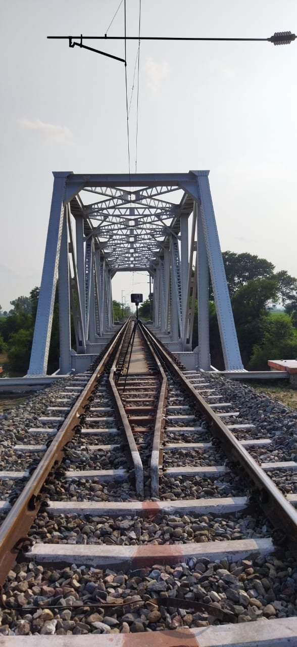
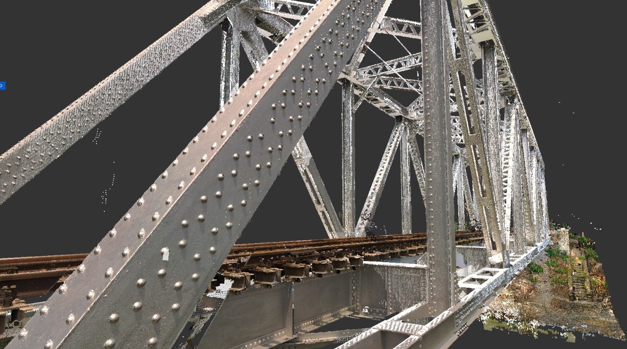
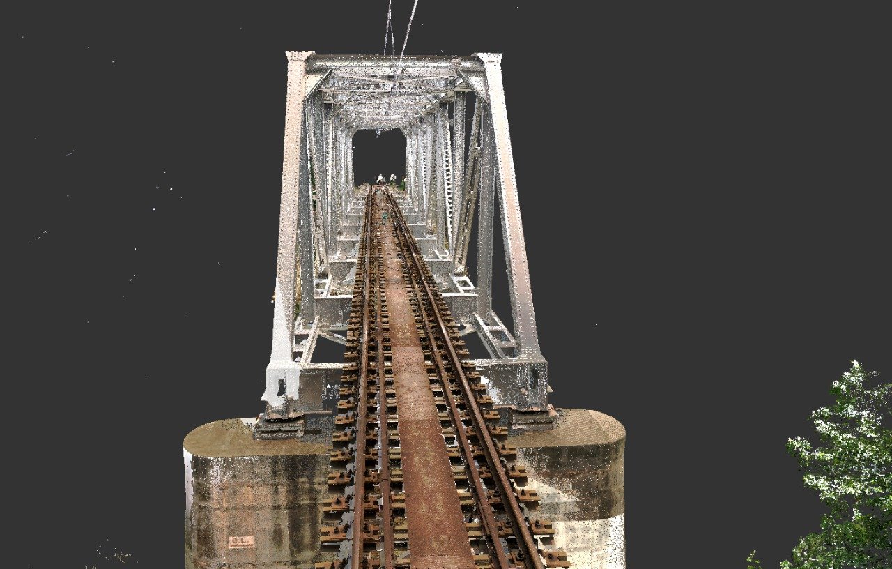
K K Geo System provides railway bridge 3D scanning, with on-site services across India supported from Ahmedabad and Jamshedpur. We define capture coverage around the bridge configuration, accessible surfaces and the intended engineering use.
Commission capture and registered data delivery, or include agreed models and drawings. Customers with existing scan data can request a modelling-only scope after sample-data review.
Geometric documentation does not by itself establish structural capacity or fitness for service.
Share the bridge location, approximate length and span arrangement, available drawings, required outputs and deadline. Capture planning also considers railway access permissions, authorised working windows and access beneath or alongside the bridge.
3D scanning · Construction Geometry Inspection · Portable CMM Inspection
| Your inputs | Our agreed work | Delivery |
|---|---|---|
| Span arrangement, capture extent, access permissions and working windows | Accessible bridge members, deck, piers and agreed adjoining features | Registered point cloud and commissioned models or drawings |
Scanning records accessible geometry. It does not by itself establish structural capacity, defect severity or fitness for service.
Agree authorised railway working windows and safe access alongside or beneath the bridge with the responsible site team before mobilisation.
Yes, subject to sample-data review, coverage and the agreed output requirements.
Start with a non-sensitive summary of the requirement. Agree NDA conditions and a suitable transfer method before sharing restricted files. Public project descriptions do not need to identify the end-customer.
Offices in Ahmedabad and Jamshedpur. On-site services across India. Remote modelling and drawing services for overseas customers using customer-supplied data.
Email inquiry@kkgeosystem.com or call +91 98244 40077.
Please include the service required, location, approximate size or data extent, required outputs and target date. For confidential or large files, contact us to agree the transfer method.