 K K Geo System | 3D Scanning & Metrology Solutions India
Precision 3D Laser Scanning & Dimensional Metrology Solutions
K K Geo System | 3D Scanning & Metrology Solutions India


Visual capture and digital scenes
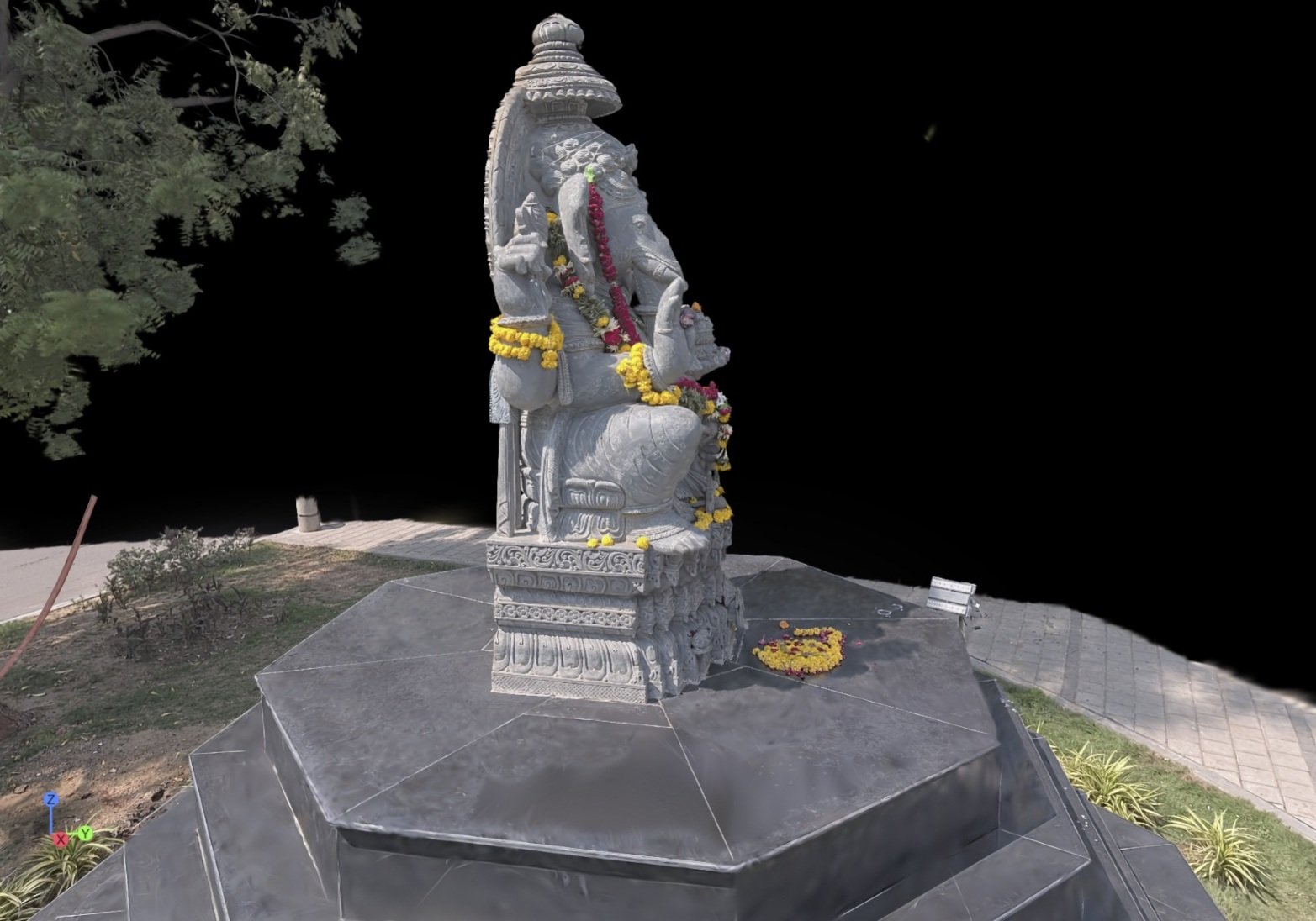
K K Geosystem captures real-world subjects and delivers processed Gaussian Splatting scenes for agreed visualisation and virtual walkthrough uses. Our Ahmedabad statue assignment included the statue and pedestal, captured with a Shareslam S20, with the customer remaining confidential.
This service is intended for viewing captured subjects and environments from different perspectives in a compatible visual workflow. Explain whether the scene will support a virtual walkthrough, CGI reference or another visual application so the output and viewing requirements can be agreed.
| Inputs | Scope | Output |
|---|---|---|
| Subject, location, access, intended viewer and target use | Agreed capture extent and processing | Processed Gaussian Splatting scene in an agreed format |
Confirm the viewer, file format and handoff requirements before capture. Website integration or a hosted interactive viewer should be scoped separately.
The customer needed a processed scene for a virtual walkthrough. Scope covered a Ganeshji statue near a crossroads and its pedestal. Passing traffic, people, access around the statue and its colour were the main capture challenges. Customer details are withheld.
No. The agreed deliverable is a visual scene. Engineering CAD reconstruction and dimensional inspection require a separate scope and suitable source data.
Visible detail depends on capture coverage and site conditions. Intended viewing positions and any inaccessible areas should be reviewed before work.
Provide the target software, viewer and required format so compatibility and handoff can be agreed. Do not assume that every system supports the same scene format.
Offices in Ahmedabad and Jamshedpur. On-site services across India. Remote modelling and drawing services for overseas customers using customer-supplied data.
Email inquiry@kkgeosystem.com or call +91 98244 40077.
Please include the service required, location, approximate size or data extent, required outputs and target date. For confidential or large files, contact us to agree the transfer method.