 K K Geo System | 3D Scanning & Metrology Solutions India
Precision 3D Laser Scanning & Dimensional Metrology Solutions
K K Geo System | 3D Scanning & Metrology Solutions India


3D digitisation services
K K Geosystem provides digitise museum objects for collection documentation, research and digital presentation.
Our offices in Ahmedabad and Jamshedpur support on-site assignments across India. The proposal defines capture, processing and reporting responsibilities for your requirement.
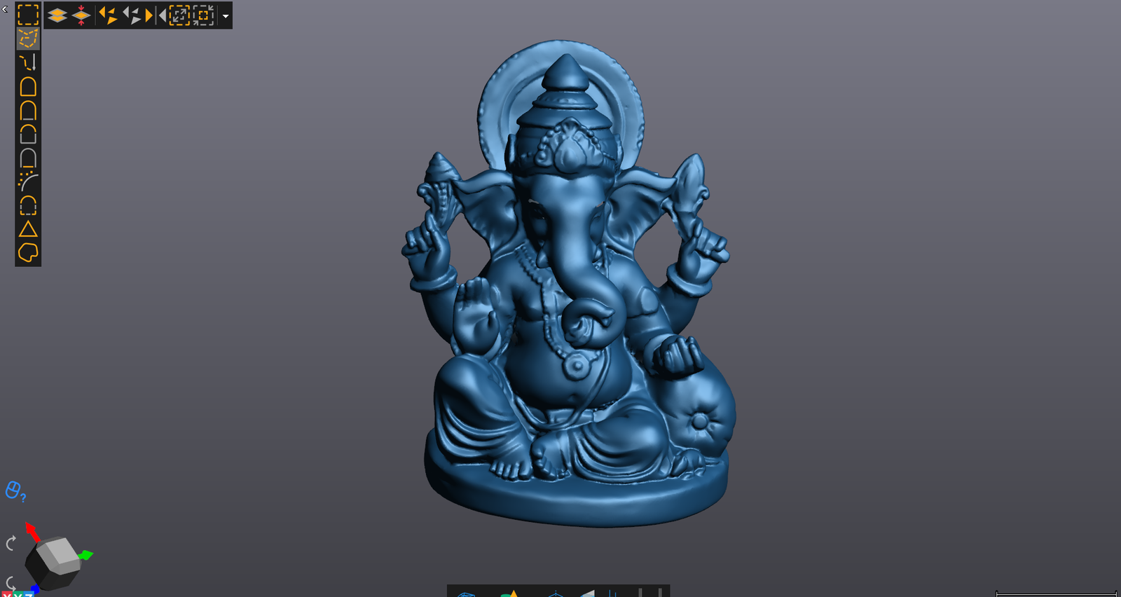
K K Geo System provides 3D scanning of museum artifacts and collection objects. We plan the capture around the object’s condition, size, surface and permitted access, in consultation with the collection custodian.
Scan data or mesh models in agreed formats. Colour and texture requirements, processing, coverage and intended use are reviewed before quotation.
Share photographs, approximate dimensions, material, object count, location, handling restrictions and the intended use of the digital output. Handling, positioning and any surface preparation require agreement with the custodian.
Offices in Ahmedabad and Jamshedpur support on-site services across India. Capture arrangements are agreed for each assignment.
| Your inputs | Our agreed work | Delivery |
|---|---|---|
| Object photographs, size, condition and handling constraints | Capture accessible object surfaces for the agreed digital use | Agreed scan or mesh outputs |
Object handling and access must follow the collection owner’s arrangements. Do not infer hidden surfaces or claim conservation certification from the scan.
Share size, material or finish, fragile areas, access and handling restrictions, and how the digital output will be used.
Specify the intended use and file requirements first. Capture coverage, processing and any further preparation can then be scoped appropriately.
Start with a non-sensitive summary of the requirement. Agree NDA conditions and a suitable transfer method before sharing restricted files. Public project descriptions do not need to identify the end-customer.
Offices in Ahmedabad and Jamshedpur. On-site services across India. Remote modelling and drawing services for overseas customers using customer-supplied data.
Email inquiry@kkgeosystem.com or call +91 98244 40077.
Please include the service required, location, approximate size or data extent, required outputs and target date. For confidential or large files, contact us to agree the transfer method.